This Travel App Added a ‘Smoke Map’ to Keep Campers Safe During Wildfire Season
Campendium’s new map overlays are designed to track smoke areas in real time so campers know which areas to avoid.

National Park Service
One camping app is responding to what’s becoming an annually chaotic wildfire season by monitoring smoke conditions in real time to keep campers safe.
Campendium, a popular crowd-sourced and editorially-curated app that offers campers, RVers, and road trippers end-to-end planning tools, announced the installation of the “Smoke Map” to their platforms to keep outdoor enthusiasts up to speed as another season of wildfires begins to rear its ugly head throughout the West’s already-ravaged landscapes.
The feature comes during a time when the region continues to be mired in what many researchers consider the worst drought conditions in 1,200 years. Fires continue to ravage the West as a result of increasingly dry conditions, each season setting new precedents for infernos that send smoke from coast to coast.
In a recent report on environmental trends in 2021, the research organization Resources for the Future found that such blazes were so common that approximately 124,000 campers embarked on camping outings that were within 12 miles of an active wildfire. Additionally, a total of 400,000 campers were found to have been impacted by wildfire smoke at some point during 2021.
“At a time when camping is more popular than ever and wildfire and smoke are also more common than ever, this new product feature couldn’t be more timely,” Campendium co-founder and general manager Leigh Wetzel said in a release. “We are proud to offer Campendium users a way to monitor these conditions with our new, real-time mapping feature.”

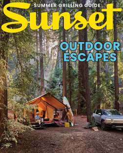
Sunset’s Outdoor Living Issue 2022
More from this issue:
- 3 Cabins, 3 Styles: Is This the Ultimate Forest Hideaway?
- These Road Trips Aren’t Just Epic, They Can Be Done in an Electric Car
- Bikepacking 101: Why You Should Try It and How to Get Started
- Feeling the Heat? Try These Drought-Tolerant Plants in Your Garden Now
- Go Ahead, Forage Your Own Food. But First Know the Rules
To monitor up to the moment, Campendium inputs live weather, smoke, and wildfire data into its app, which is then compiled into a map overlay to give users a visual representation of fires and smoke in a particular area of interest.
The smoke map overlay is broken down into three tiers—light, medium, and heavy smoke coverage—and is operational for iOS users in both light and dark operating modes. What’s more, Campendium users can actively engage in the app’s numerous other features that will continue to work alongside the smoke map overlay.
Maps for hiking trails, public lands, and cell phone coverage, for example, can all be displayed with the smoke map feature to help prospective campers determine best locations.
It’s no doubt a tool that will be replicated and put to immediate use. Nevertheless, it’s another unfortunate sign of the ongoing climate crisis.
Learn more about Campendium, download the app, and most importantly, stay safe out there.
